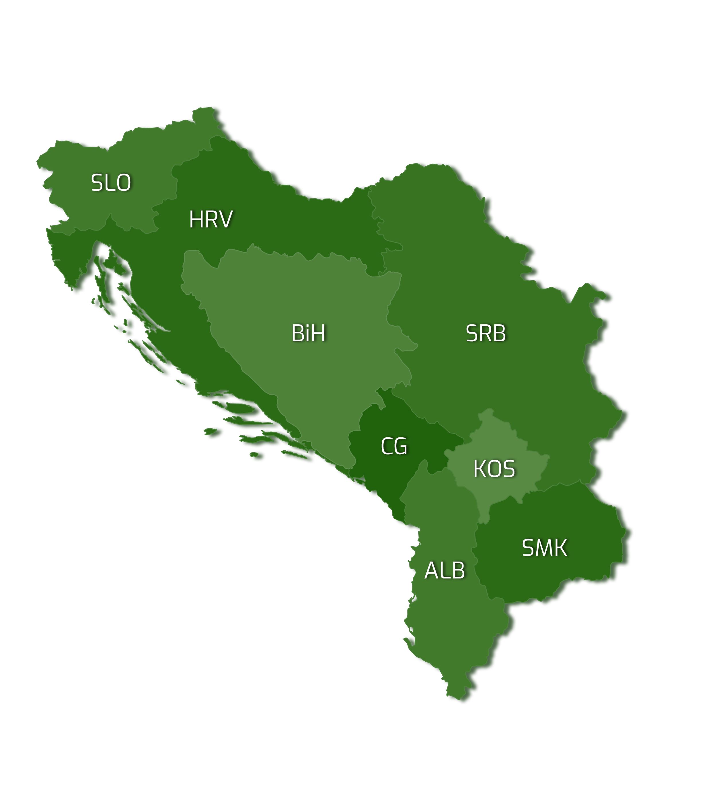
Parks Dinarides
Network of protected areas of Dinarides
Albania
National park Bredhi I Drenoves
National park Bredhi I Hotoves
National park Butrinti
National park Dajti
National park Divjake – Karavasta
National park Karaburun – Sazan
National park Llogara
National park Lura
National park Mali I Tomorrit
National park Prespa
National park Shebenik – Jabllanica
National park Theth
National park Valbona
National park Zall – Gjocaj
Bosnia and Herzegovina
National park Una
National park Sutjeska
Nacionalni park Kozara
Nature park Hutovo Blato
Nature park Blidinje
Special geological reserve Vjetrenica
Nature monument Skakavac
Nature monument Vrelo Bosne
Protected landscape Bijambare
Protected landscape Trebević
Protected landscape Bembaša
National park Drina
Nature park Orjen
Nature park Prača
Nature park Cicelj
Strict nature reserve Janj
Strict nature reserve Lom
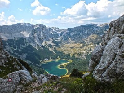
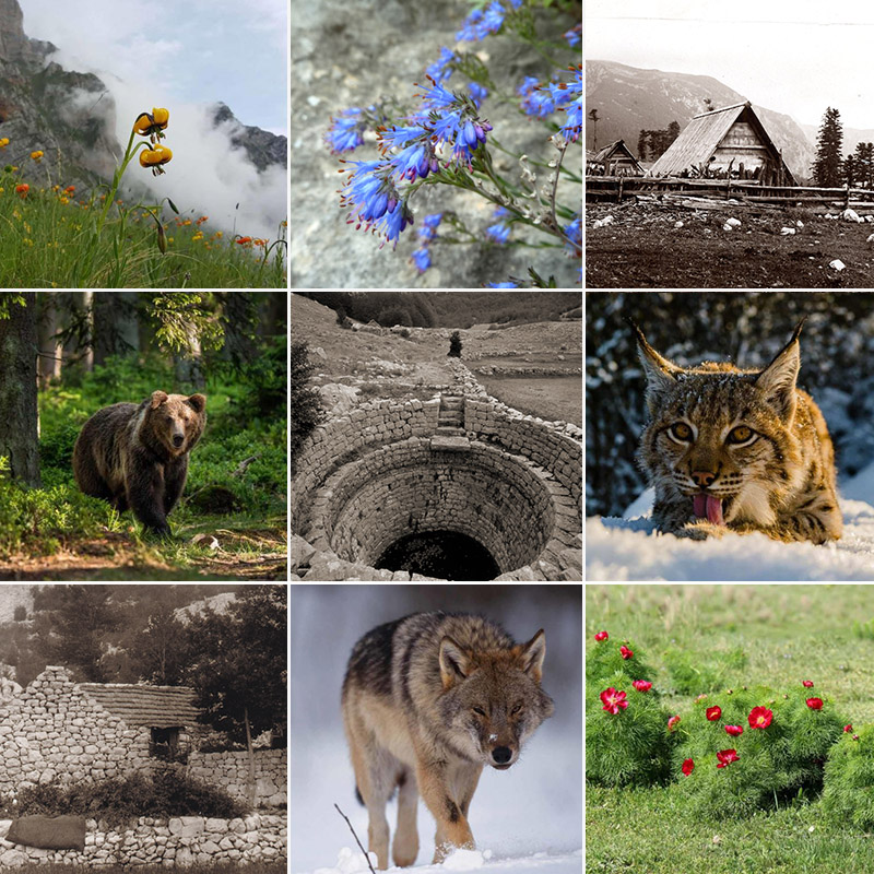
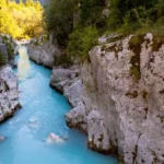
Montenegro
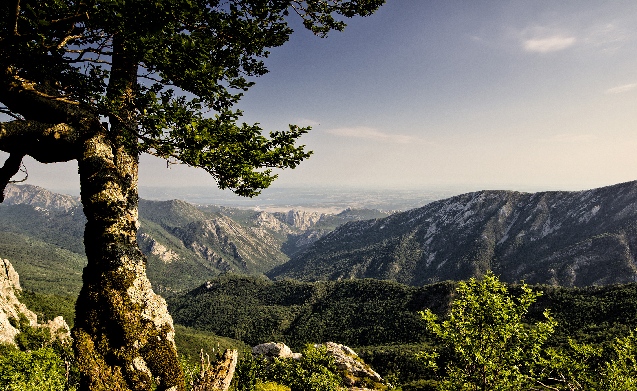
Croatia
National park Risnjak
National park Paklenica
National park Mljet
National park Brioni
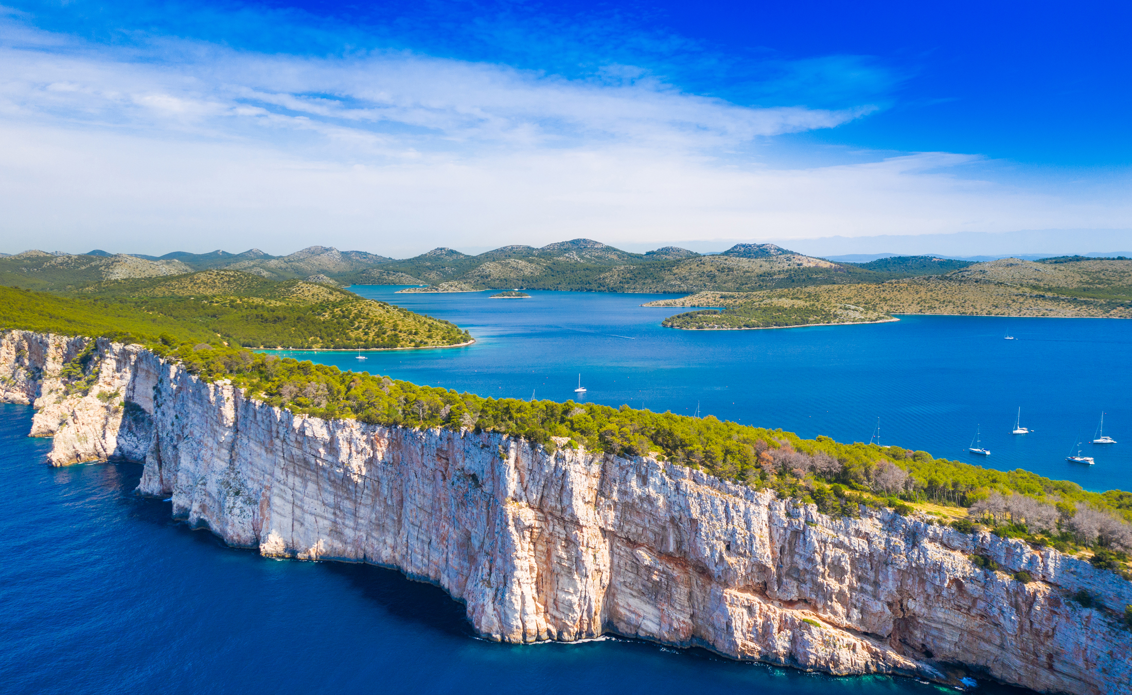
National park Kornati
National park Krka
National park Plitvička jezera
National park Sjeverni Velebit
Nature park Lastovsko otočje
Nature park Lonjsko polje
Nature park Kopački rit
Nature park Papuk
Nature park Telašćica
Nature park Učka
Nature park Vransko jezero
Nature park Žumberak – Samoborsko Gorje
Nature park Medvednica
Nature park Velebit
Nature park Biokovo
Cave park Grabovača
Green ring of Zagreb County
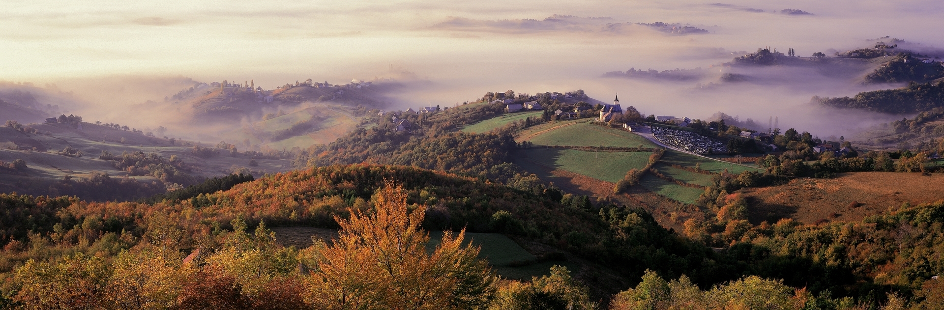
Slovenia
Serbia
National park Fruška gora
National park Tara
National park Đerdap
National park Kopaonik
Nature park Mokra Gora
Special nature reservation Zasavica
Specijalni rezervat prirode “Gornje podunavlje”
Specijalni rezervat prirode “Obedska bara”
Specijalni rezervat prirode “Delibatska peščara”
Specijalni rezervat prirode “Koviljsko-petrovaradinski vrt”
Specijalni rezervat prirode “Bagremara”
Park prirode Golija
Park prirode Stara planina
Park prirode Sićevačka klisura
Predio izuzetnih odlika Lepterija-Sokograd
Predio izuzetnih odlika Kamena Gora
Park prirode Avala
Park prirode Košutnjak
Specijalni rezervat prirode Jelašnička klisura
Specijalni rezervat prirode Jerma
Specijalni rezervat prirode Klisura reke Mileševke
Par prirode Lazarev kanjon
Spomenik prirode Bojčinska šuma

Panel Discussion – Invasive species in protected areas in Montenegro
The topic of the event is existence and distribution of invasive and alien invasive species in protected areas in Montenegro as one of the biggest challenges facing these areas.
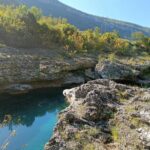
Read moreChallenges and perspectives in the protection of the PA Cijevna River Canyon
The topic of the event is very important for the preservation of the PA Cijevna River Canyon, bearing in mind the numerous pressures and challenges in the functioning of the protected area.
Read more


 500")