Info
On the date of 11.21.1966 (Nr.96), the Albanian government proclaimed the area of Theth, with a surface of 2630 ha: from which 1680 ha are forest along the sea-line and the other part is gas-plot and grust. It is now declared a “National Park” and is administered by the Directorate of Forestry Service, district of Shkodra.
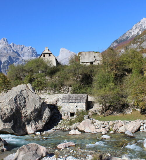
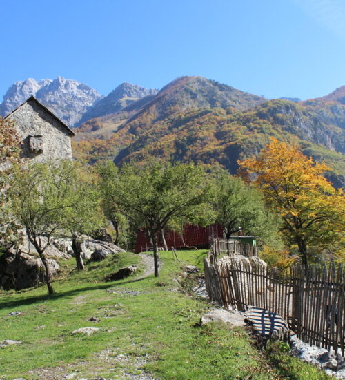
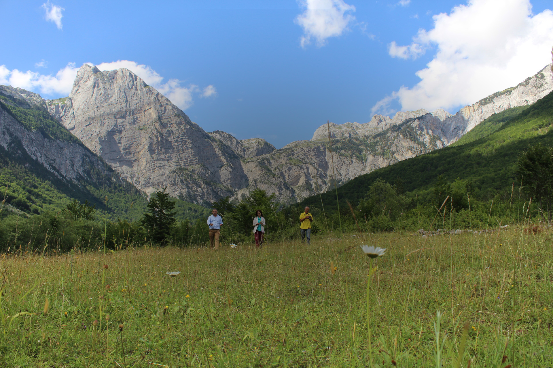
The “National Park of Theth” lies into the center of the Albanians Alps, between the block “Bjeshket te Nëmuna” on the west, and the block of Jezerca on the east. Thethi is a tourist – alpinist region and it is the most important one north of the country. It is only 70 km away from the city of Shkodra. It is a part of the commune Shalë within the region of Dukagjin. The park is surrounded from all four angles with pitons (rocky) of the two blocks above, which ascend down towards the valley and create an amazing view. Some of the most astonishing parts of this national park are the following: The peak ofRadoines (2570m), Arapit (2217m), Paplukës (2569m), Alisë (2471m) etc. Hanging 750–800 meters below within the valley stretches the pictorial village of Theth.
The “National park of Theth” is 172 km north of the capital of Tirana: 148 km of which is asphalt and the last 24 km is un-asphalted. The valley of Theth is frequently visited from all local and foreign tourists. Right into the heart of the northern Alps, between the historic rocky mountains, amazingly green panoramas and the numerous crystal fountains, this valley lies 900 meters above the sea level.
The park lies in the valley that the river of Theth created. The mountains are very steep slopes and accidence with around 16°-35° however, in some parts 45°-60° or even 90°. The form of the valley resembles that of a deep hole surrounded by mountains. That is stimulated by the glacier activity throughout the years. The river of Shala has formed terraces on each side which are made of gritty soil.

