
Location
NP Biogradska Gora is located in the northeast of Montenegro, between the rivers Tara and Lim, in the central part of the mountain Bjelasica. It covers an area of 5,650 hectares.
History
As a National Park it was founded in 1952, although its protection dates back to 1878. The special reserve is the primeval forest in the basin of the Biogradska River and Jezerštica.
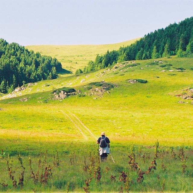
Nature
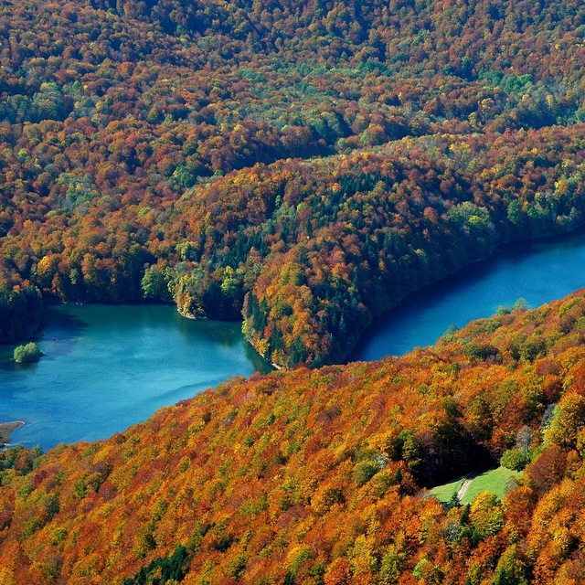
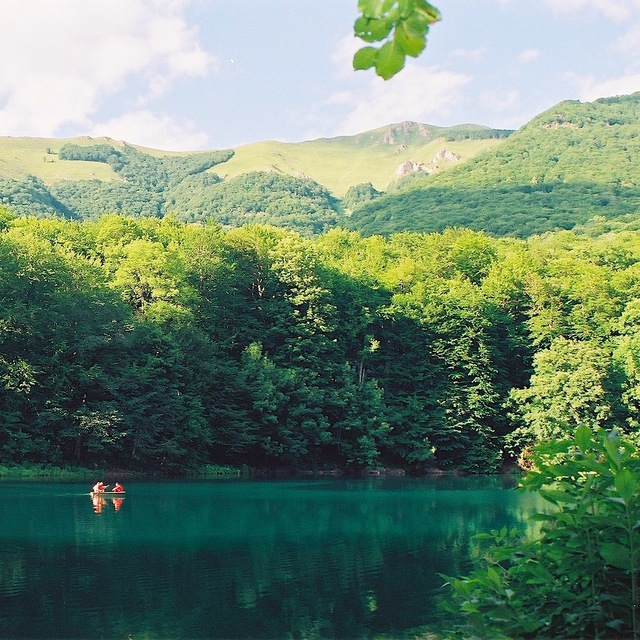
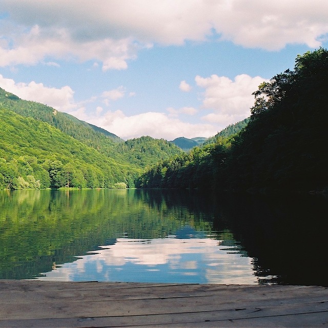
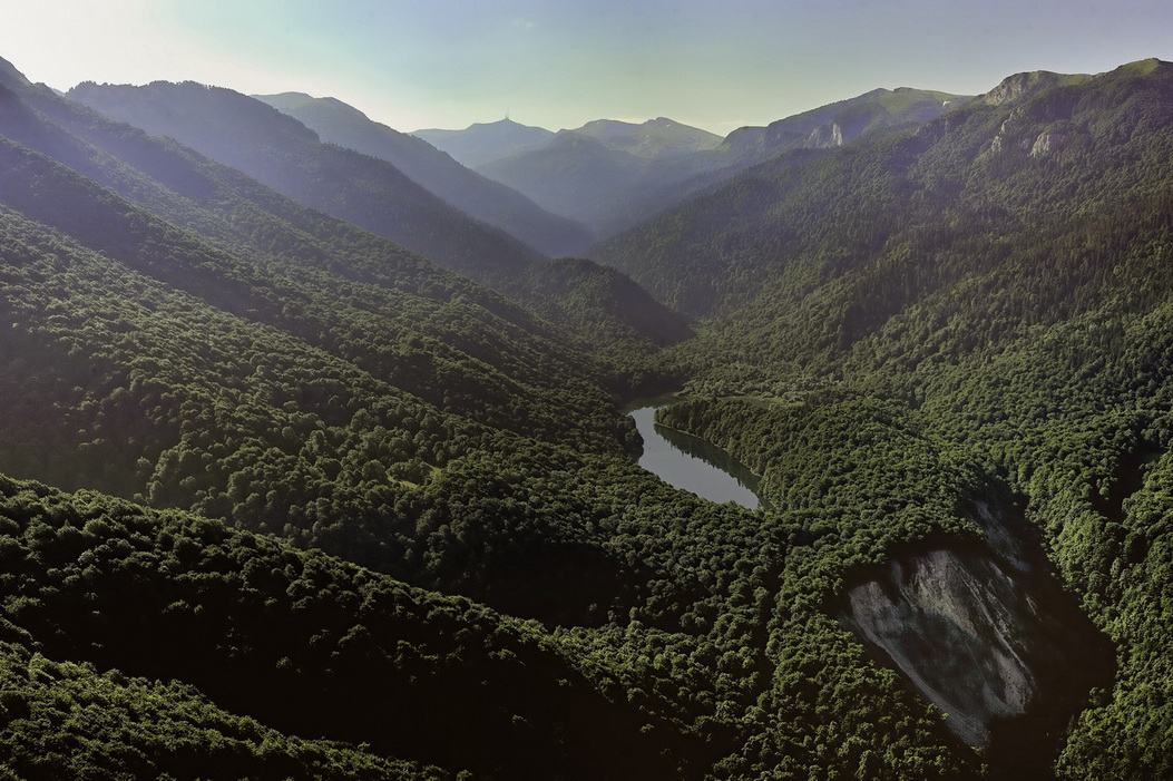
The landscape of this area consists of forests, meadows and lakes. In addition to Biogradsko Lake located in the center of Biogradska Gora, the Park is embellished also by other glacial lakes: Pešića, Ursulovačko (Big and Small) and Šiško (Big and Small). Nature of Bjelasica is characterized by mountainous terrain, made up of four ridges with three highest peaks over 2000 meters: Crna glava 2.139m, Zekova glava 2.117m and Troglava 2.072m. In the park there are approximately 2,000 plant species, among which 20% are endemic of the Balkan Peninsula and about 90 species of trees. The animal life is also diverse with 200 species of birds, 80 species of butterflies, 350 species of insects and typical mammals – wolf, bear, fox, deer, squirrel, dormouse. In addition to natural beauties, there are numerous archaeological sites, religious monuments, necropolis, and folk architecture is especially characteristic – pasture places, shepherds huts, chalets, mills.
Sights
The largest part of the Park is the rainforest reserve in the basin of the Biogradska River and Jezerštica and is one of the oldest protected areas in the world, known as the “Duke’s preserve” or “bumper”. Age of individual trees of the rainforest is estimated at over four centuries, some of which are over 40m tall. It is also the most significant natural value of this national park, which covers an area of 1600 ha and is one of the last three in Europe. It has a character of strictly protected nature reserve.
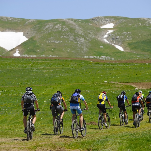
Tourism
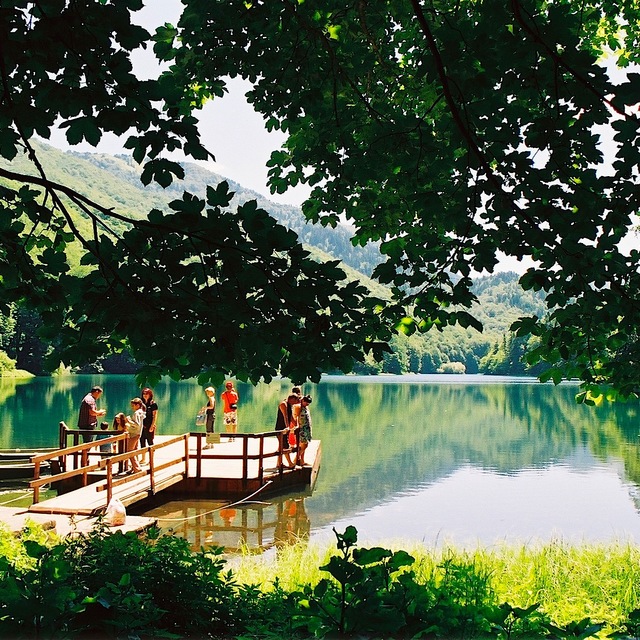
Biogradska Gora together with Bjelasica offers excellent conditions for hiking. Almost 80 km are marked mainly the medium difficulty trails of an average length of 12 km. Every trail leads to the highest elevations and lakes: Crna glava, Zekova glava, Troglava, Pešića Lake, Šiško Lake and Ursulovačko Lake. Through Park passes also a portion of the most famous marked mountain transversal CT-1, determined in 1987, of a total length of 120 km. In addition to hiking, the educational path that extends along the entire periphery of Biogradsko Lake and of the length of 3.5 km is also arranged. It is equipped with interactive movables with six points that provide information about the flora and fauna of the area. The very natural attractiveness of the trail, with good interpretative content is one of the main attractions of the Park.
Connection
NP Biogradska Gora can be reached from several directions, bearing in mind that the mountain Bjelasica is surrounded by five cities; Andrijevica, Berane, Bijelo Polje, Kolašin and Mojkovac, which are connected by the regional highway. Bijelo Polje, Kolašin and Mojkovca can be reached by train which runs on the line Bar – Belgrade. From the capital Podgorica, Biogradska Gora is 85 km away.
Contact
Adresa
Nacionalni parkovi Crne Gore
Trg vojvode Bećir-bega Osmanagića 16
81000 Podgorica
Telefoni
+382 20 865 625
+382 68 020 020
Web: www.nparkovi.me
Mail: npbiogradskagora@nparkovi.me